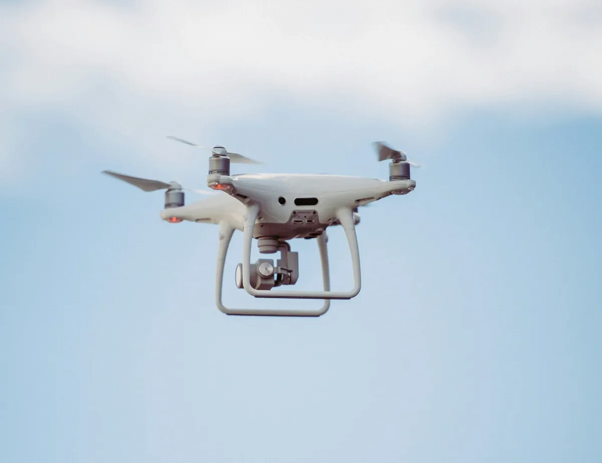
Leveraging drone technology for site surveys and inspections is revolutionizing the architecture industry by offering unparalleled accuracy, efficiency, and safety in data collection. Drones enable architects to conduct comprehensive structural inspections, topographical mapping, and construction monitoring with ease, significantly reducing manual labor and associated risks. The integration of drone-collected data into project planning and management enhances decision-making and project accuracy, making advanced tools like Minute7 essential for streamlining time tracking and expense reporting in modern architectural projects.
The Role of Drone Technology in Architectural Site Surveys
Drone technology, also known as unmanned aerial vehicle (UAV) technology, has revolutionized site surveys in architectural practice. Utilizing drones equipped with downward-facing sensors such as RGB or multispectral cameras and LIDAR payloads, architects can capture highly accurate aerial data. This data can then be used to create detailed 2D and 3D maps, geo-referenced orthomosaics, elevation models, and 3D models of project areas (source).
One of the primary advantages of using drones over traditional methods is enhanced accuracy and precision. Drones can shoot high-resolution images and videos, and with the aid of GPS, Ground Control Points (GCPs), and Real Time Kinematic (RTK) technology, the collected data is exceedingly precise (source). This precision is particularly beneficial for architectural site surveys, where even minor inaccuracies can lead to significant project delays and increased costs.
In addition to accuracy, drones offer remarkable speed and efficiency in data collection. Drones can cover large areas quickly and can perform surveys in a fraction of the time required by traditional ground-based methods. This rapid data collection translates to faster project turnaround times and significant cost savings (source). Furthermore, drones can operate in challenging terrain and hard-to-reach areas, making them invaluable for comprehensive site assessments.
Another significant benefit is the reduction in manual labor and associated risks. Traditional site surveys often require personnel to work in hazardous conditions, such as scaling heights or navigating unstable ground. Drones eliminate these risks by allowing surveys to be conducted remotely, thereby enhancing the safety of the surveying process (source).
In summary, drone technology offers a faster, safer, more cost-effective, and highly accurate method for data collection compared to traditional surveying methods. This technological advancement streamlines the process of site surveys, making it an invaluable tool in modern architectural practice.
Practical Applications of Drones in Architectural Inspections
Drones have become indispensable in the realm of architectural inspections, providing innovative solutions for various tasks that were previously labor-intensive and time-consuming. Their ability to capture high-resolution images and gather detailed data has made them integral to several inspection processes, including structural inspections, topographical mapping, and monitoring construction progress.
Structural Inspections
One of the primary applications of drones in architecture is conducting structural inspections. Equipped with advanced imaging systems and sensors, drones can navigate the exteriors of buildings and other structures, capturing high-resolution images that reveal critical details about their condition. Drones can efficiently identify potential issues such as cracks, leaks, or other signs of deterioration that may not be visible from the ground (source). This capability allows architects and engineers to perform thorough assessments without the need for scaffolding or other traditional inspection methods, thereby saving time and reducing costs.
Topographical Mapping
Drones also play a pivotal role in topographical mapping, which is essential for site planning and design. By flying over a site and capturing detailed elevation data, drones can create highly accurate topographical maps. This data is invaluable for architects as it helps in understanding the terrain, planning construction projects, and identifying potential challenges early in the design phase (source). The precision of drone-collected data ensures that architects can make informed decisions, ultimately enhancing the efficiency and accuracy of their projects.
Monitoring Construction Progress
In addition to inspections and mapping, drones are extensively used for monitoring construction progress. They can capture clear, detailed imagery of a site’s development over time, providing valuable insights into the construction process. This continuous monitoring enables project managers to track progress, ensure adherence to schedules, and identify any discrepancies or issues that may arise (source). For example, drones can create panoramic 360-degree images, offering comprehensive views of the construction site and its surroundings, which can be crucial for project documentation and stakeholder communication (source).
Case Studies and Success Stories
Several case studies highlight the successful implementation of drones in architectural projects. In one instance, drones were used to map a large construction site, providing accurate data that helped in identifying unforeseen hazards and optimizing the construction process (source). Another example involves the use of drones to create 3D models of existing structures, which were then used to plan renovations and ensure the new designs integrated seamlessly with the old.
Challenges and Considerations
While drones offer numerous advantages, they also come with challenges. The need for trained pilots and the costs associated with purchasing and maintaining drones can be prohibitive for smaller firms (source). Additionally, regulatory requirements and the complexity of drone operations may pose barriers to adoption.
In conclusion, drones have revolutionized the way architectural inspections and site surveys are conducted. Their ability to provide accurate, efficient, and comprehensive data collection makes them a valuable asset in modern architectural practice. However, firms must balance these benefits against the costs and logistical challenges associated with drone technology.
Integrating Drone Data with Project Planning and Management
The integration of drone-collected data into architectural project planning and management represents a significant advancement in the field. By leveraging the detailed and precise data captured by drones, architects and project managers can enhance their workflow through advanced technologies such as 3D modeling and Building Information Modeling (BIM).
Use of 3D Modeling and BIM
Drones equipped with high-resolution cameras and sensors can capture comprehensive aerial data, which can be transformed into detailed 3D models of the project site. These models provide a realistic and interactive representation of the site, enabling architects to visualize the project from various angles and make informed decisions early in the design phase. Integrating this data into BIM software allows for a more collaborative planning process, where different stakeholders can access and update the same model, ensuring consistency and accuracy throughout the project lifecycle (source).
Improved Decision-Making and Project Accuracy
The precise data obtained from drones significantly improves decision-making and project accuracy. For instance, detailed topographical maps generated from drone data help in identifying potential site challenges, such as uneven terrain or drainage issues, which can be addressed proactively. Moreover, the ongoing monitoring of construction progress through drone imagery ensures that any deviations from the planned design are detected early, reducing the likelihood of costly corrections later (source).
The Role of Software Solutions like Minute7
While the data collected by drones is invaluable, managing the associated time and expenses is equally crucial for the efficient execution of architectural projects. This is where software solutions like Minute7 come into play. Minute7 streamlines the time tracking and expense reporting processes for drone operations, ensuring that all hours worked by drone operators and related expenses are accurately recorded. This not only aids in precise billing but also enhances project management by providing clear insights into resource allocation and expenditure.
- Streamlining Time Tracking and Expense Reporting: With Minute7, drone operators can log their hours and expenses directly from the field using the mobile app, ensuring real-time data capture. This seamless integration with QuickBooks allows for automatic synchronization of data, reducing administrative overhead and minimizing errors.
- Ensuring Accurate Billing and Efficient Project Management: By providing detailed reports on time and expenses, Minute7 ensures that all drone-related activities are billed accurately. This transparency helps in maintaining budget control and improving the overall efficiency of project management.
In summary, the integration of drone data with project planning and management significantly enhances the accuracy, efficiency, and safety of architectural projects. Software solutions like Minute7 play a vital role in managing the operational aspects of drone usage, ensuring that time and expenses are tracked meticulously, thereby supporting accurate billing and efficient project management.
Embracing Drone Technology for Architectural Excellence
In conclusion, the advent of drone technology has undeniably transformed the landscape of architectural site surveys and inspections. By offering unparalleled accuracy, efficiency, and safety, drones have become indispensable tools for modern architectural practice. From conducting detailed structural inspections and topographical mapping to monitoring construction progress, drones provide architects with the data they need to make informed decisions and enhance project outcomes.
The integration of drone-collected data into project planning and management, particularly through advanced tools like 3D modeling and Building Information Modeling (BIM), further elevates the precision and efficiency of architectural projects. This technology enables architects to visualize projects comprehensively, address potential site challenges proactively, and ensure that construction progresses as planned.
Moreover, the role of software solutions such as Minute7 cannot be overstated. Minute7 streamlines time tracking and expense reporting for drone operations, ensuring that all associated costs and hours are accurately recorded. This seamless integration with QuickBooks facilitates precise billing and efficient project management, allowing architectural firms to maintain budget control and optimize resource allocation.
As the architectural industry continues to evolve, embracing drone technology and leveraging comprehensive software solutions like Minute7 will be crucial for firms aiming to stay ahead of the curve. By doing so, they can ensure that their projects are not only innovative and efficient but also executed with the highest standards of accuracy and safety.


